Patagonia, without mistakes.
I'm Matias Puga, from Patagonia. For over twenty years I've been planning trips to Argentine and Chilean Patagonia, Ushuaia and Antarctica. I've advised more than 500 travelers from around the world.
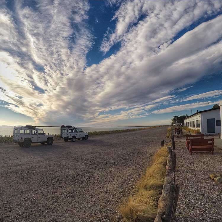
Born in Chubut. Patagonian through and through.
+20 years · +500 travelers advised.
No intermediaries. You book directly, pay less.
I was born in Patagonia.
I've spent twenty years
planning trips.
I work with travelers from around the world who want to have the trip of their lives without wasting time or budget.
My philosophy is simple: honest itineraries, no intermediaries. I tell you what's worth seeing, what's not, and how to book directly without overpaying.
How I work
Book your call
Choose a time in the calendar and pay online. I confirm by email within minutes.
60-minute video call
Tell me what you want to do, how many days you have and your budget. We solve everything.
Receive your itinerary
Google Sheet with everything: flights, hotels and excursions with direct links to book.
Where I can take you
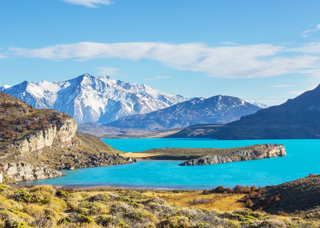
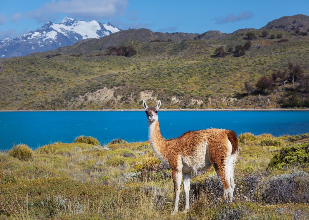
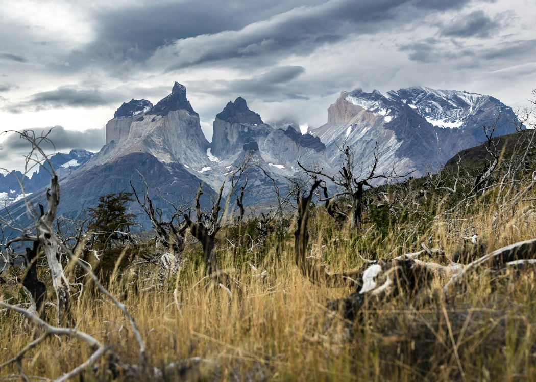
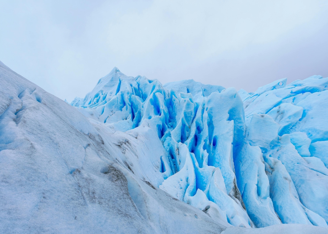
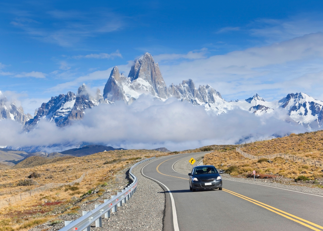
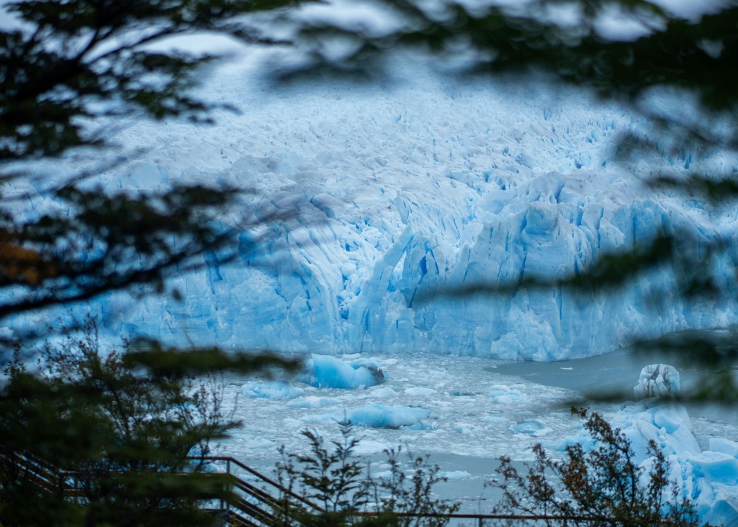
Southern Patagonia
Route 40 · Glaciers · Torres del Paine
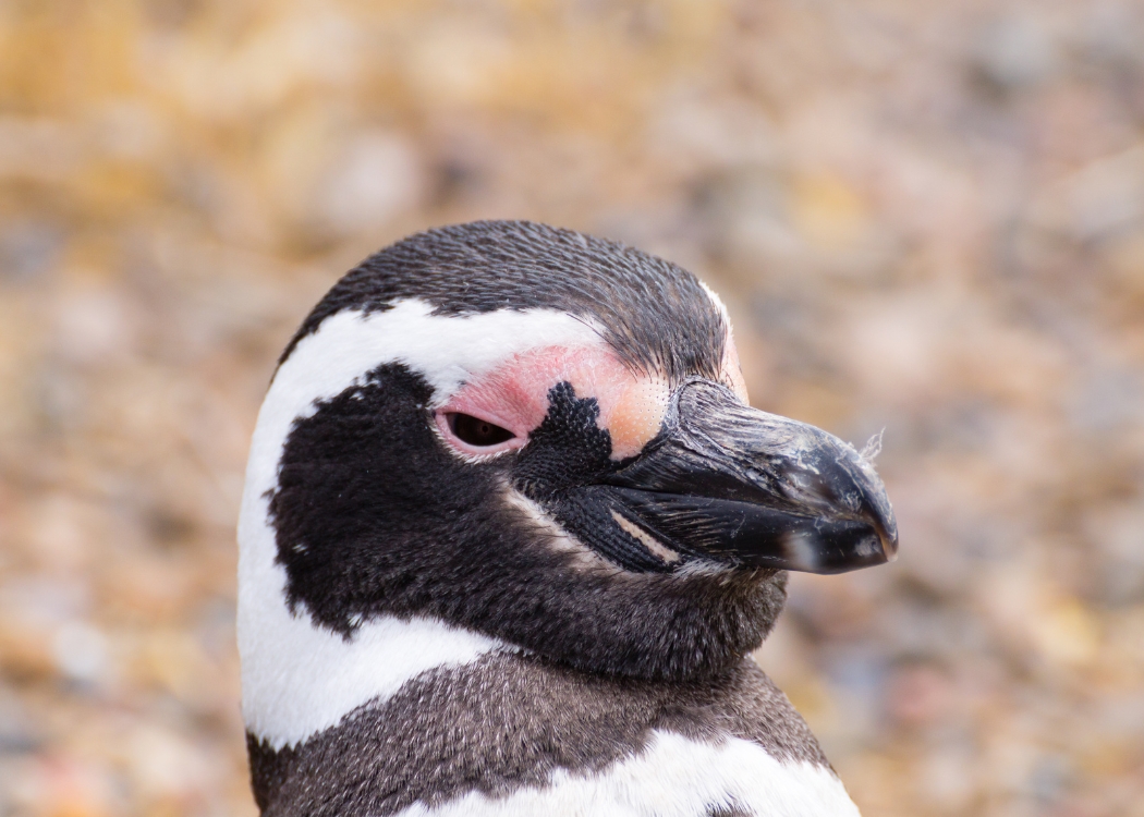
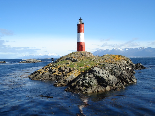
Ushuaia
End of the world · Beagle Channel · Penguins
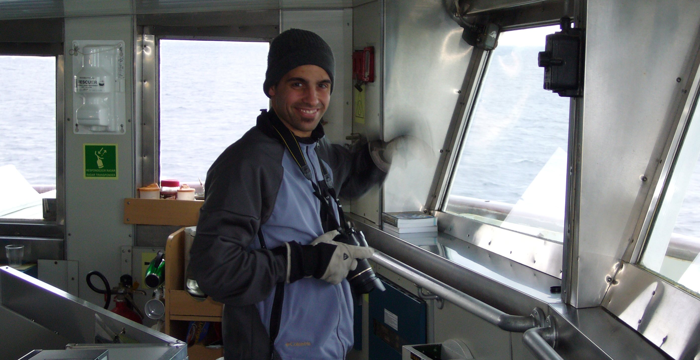
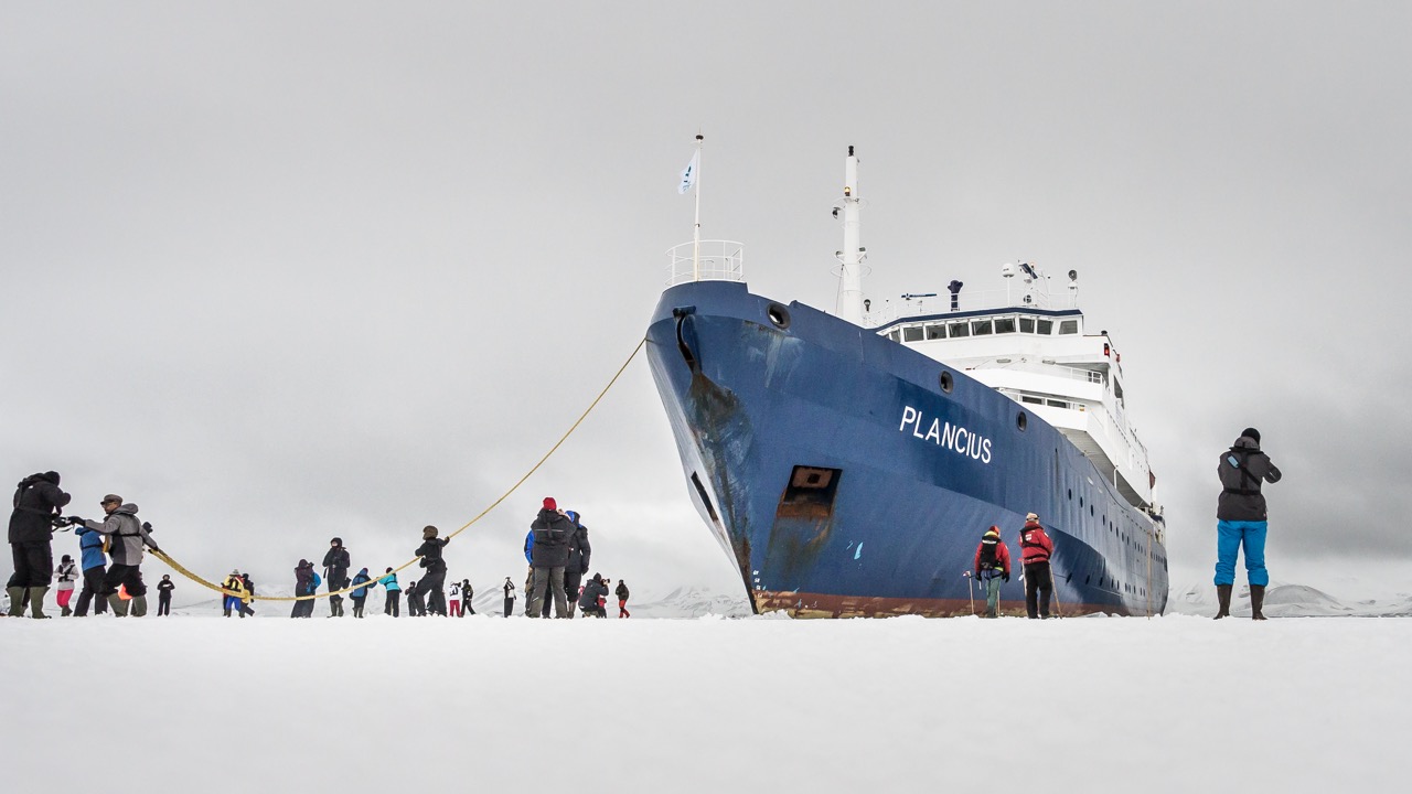
Antarctica
MV Ushuaia · 10 nights · White continent
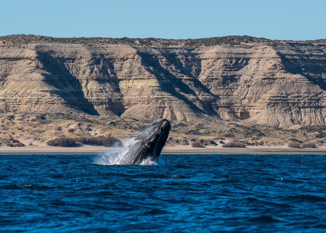
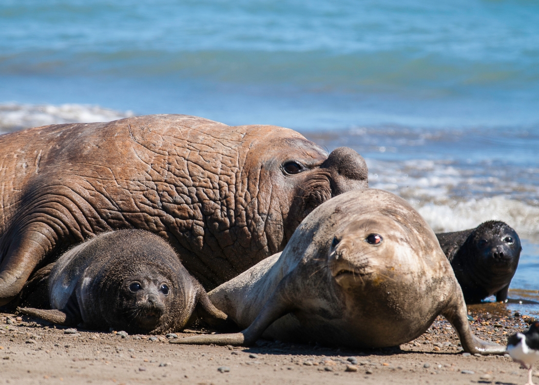
Atlantic Coast
Whales · Penguins · Valdés Peninsula
Everything you need to plan your trip
The complete overview — regions, logistics, and what to book first.
02 Patagonia itineraryDay-by-day routes for 10, 14 and 21 days with booking notes.
03 Best time to visit PatagoniaMonth-by-month guide to weather, crowds and booking windows.
04 Patagonia trekking5 routes compared — W Circuit, Fitz Roy, Dientes and more.
05 How much does Patagonia cost?Budget breakdown for all tiers, Dollar Blue exchange included.
06 Flights to PatagoniaAirports, domestic connections and when to buy — for non-residents.
07 Where to stay in PatagoniaRefugios, estancias and lodges — how to book before they sell out.
08 Is Patagonia safe?The real risks are logistical, not crime. Here's what to prepare for.
What I recommend
to my clients.
The places I choose — not TripAdvisor's.
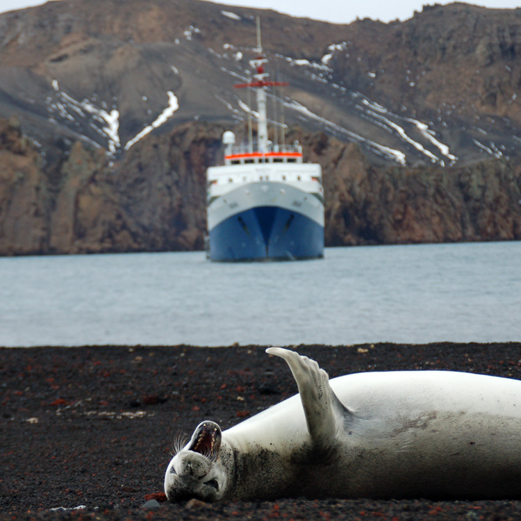
Antarctica Cruise
The most special expedition. Aboard the MV Ushuaia, 10 nights to the white continent.
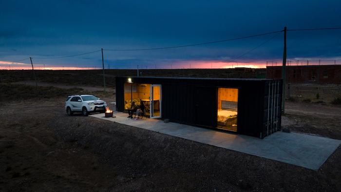
Sleep in a container by the sea
Unique accommodation on the Atlantic coast. An experience you won't find in any catalogue.
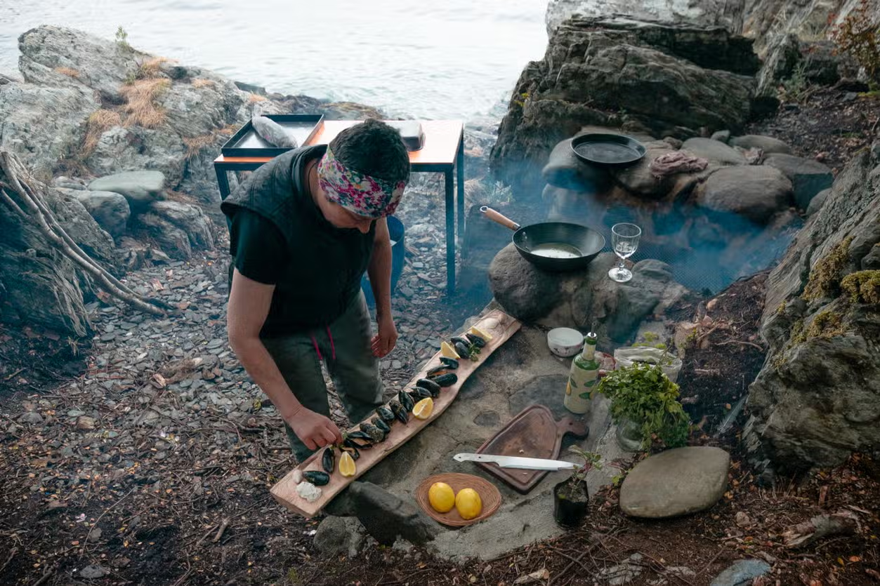
Eat on the Beagle Channel
The canal-view restaurants I recommend — not TripAdvisor's picks.
Sleep at a rural estancia
Real Patagonia. Authentic ranches far from the mass tourist circuit.
What my clients say
01 What does the 100 USD service include?
A 60-minute video call and a complete day-by-day itinerary in Google Sheet with flights, hotels, excursions and transfer times. Everything with direct links so you can book yourself without paying intermediaries.
02 Why don't you sell a closed package?
Because I believe the best way to travel is without intermediaries. I give you honest information and you book directly. If you prefer to have everything organised, I'll connect you with trusted local agencies.
03 What language do you work in?
Spanish, English, Italian and German. The video call is done in whatever language is most comfortable for you.
04 How far in advance should I book?
Ideally 3–6 months ahead, especially for high season (December to February) and for the Antarctica cruise which is usually booked a year in advance.
05 What if I can't travel after booking?
The service is non-refundable, but the itinerary stays ready for whenever you can travel. I can reschedule the video call if your dates change.
06 Do you only cover Patagonia?
My specialty is Argentine and Chilean Patagonia, Ushuaia and Antarctica. I also build itineraries for the rest of Argentina if it combines with Patagonia.
Ready to plan?
Book a video call and in 60 minutes you'll have your personalised Patagonia itinerary.
Plan your trip → 100 USD